


Geospatial Software

◆
Our range of solutions
We provide a powerful suite of leading, location data software and geospatial solutions designed to help organisations make smarter, data-driven decisions.
From land and asset management to environmental protection and heritage conservation, our tools simplify spatial analysis and unlock actionable location intelligence.
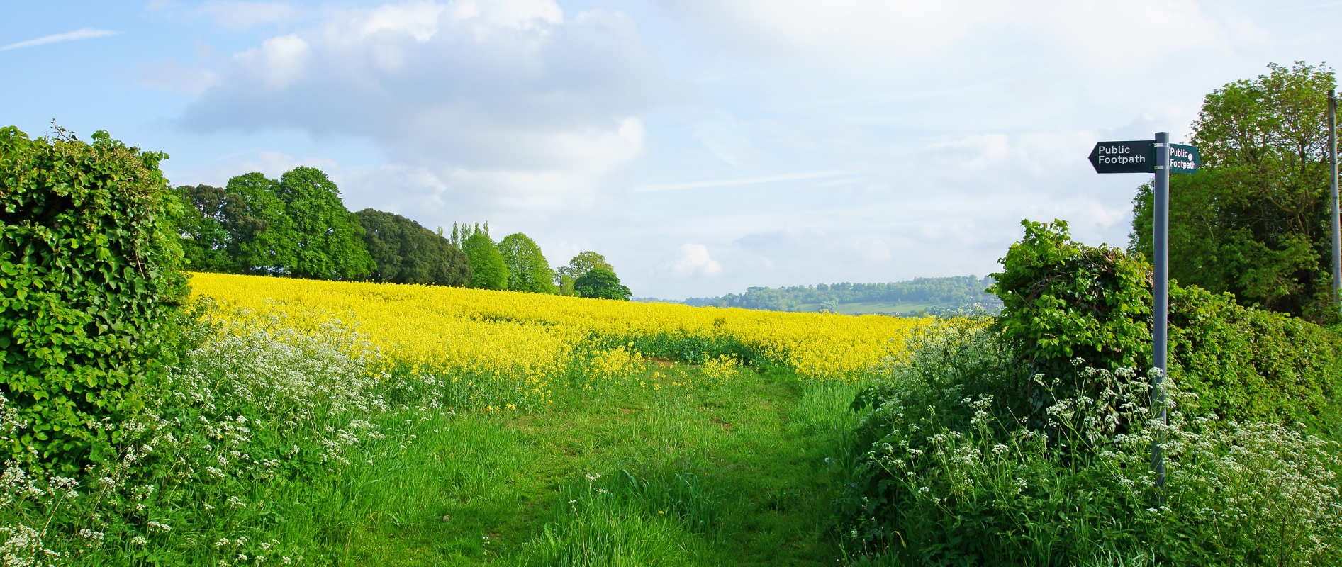
Countryside Access Management System (CAMS)
CAMS streamlines the management of rights of way, national trails, cycle routes, and access land across the UK, helping to keep the path network accessible, safe, and sustainable.
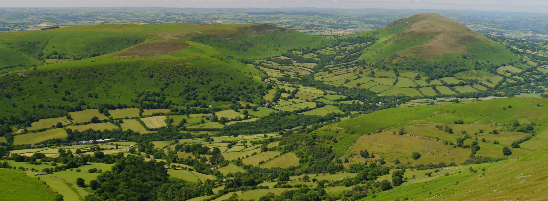
Conservation Management System International
(CMSi)
CMSi simplifies complex nature conservation tasks by efficiently managing terrestrial and marine sites of ecological, habitat, species, geological, and heritage significance.

Historic Buildings, Sites and Monuments Record (HBSMR)
Trusted by most UK Historic Environment Records (HERs), HBSMR safeguards the UK’s heritage, ensuring the preservation and protection of historical assets for future generations.

FlyMapper
FlyMapper is a system for the capture, management, and analysis of fly-tipping incidents, supporting efforts to reduce waste crime and protect land, the environment, and local communities.
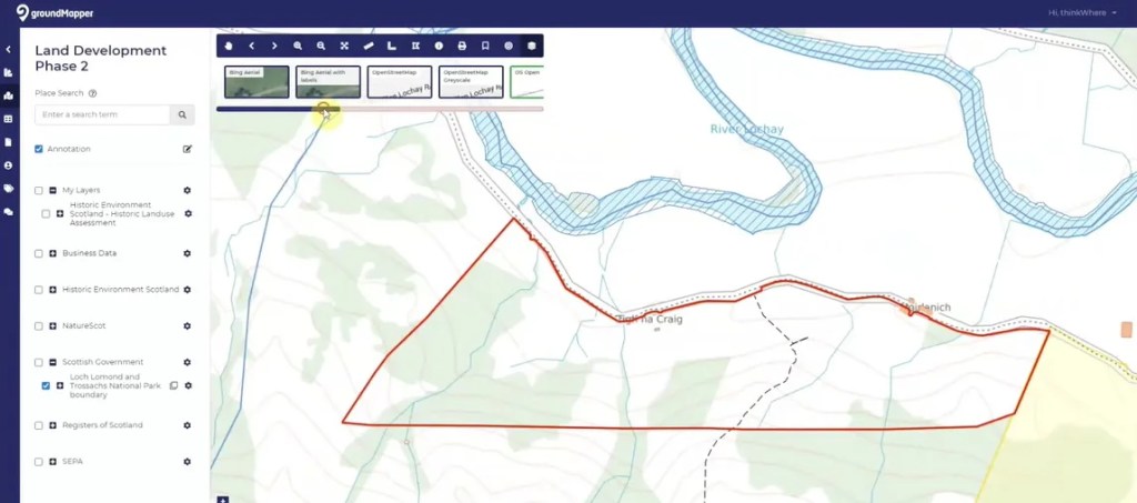
groundMapper
Centralise your location data, ease collaboration, and make faster, more informed decisions with groundMapper – the cloud GIS platform built for multi-stakeholder project environments. Fast to deploy, secure, easy to use.

Address Management System
Idox’s Address Management System is a cloud-hosted corporate gazetteer for centrally managing and sharing AddressBase Premium and locally created addresses, all underpinned by the Unique Property Reference Numbers (UPRN).
Contact us
Tell us more about what you need so we can help you achieve more with location data.
Geospatial advantage
from Idox ©
The Hub
Farnborough Business Park
Farnborough
GU14 7JP
Telephone:
+44 (0) 118 973 6883